


Wipe clean and reuse
Use dry-erase markers for labeling, tracing, quizzing, and quick corrections without burning through worksheets.


DesignIran
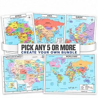 01 - Any 5-10 Maps
 2 Piece Set; World & USA Maps
 2026 Updated World Map
 24 Piece Set
 3 Piece Set; World, USA & Europe Maps
 4 Piece Set; Asia, Europe, World & USA Maps
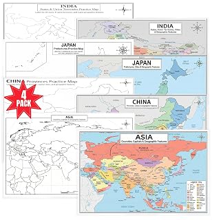 4 Piece Set; Asia, Japan, China & India Maps
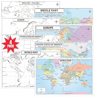 4 Piece Set; World, Europe, USA & Middle East Maps
 4 Piece Set; World, South America, Africa & Australia Maps
 9-Pack Bundle
 Africa
 Asia
Asia Australia & Oceania
 Brazil
 Canada
 China
China Europe
 France
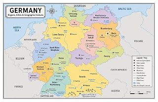 Germany
 Greece
 India
India Iran$9.99
 Israel
 Italy
Italy Japan
Japan Middle East
 Russia
 Saudi Arabia
 South America
 Spain
Spain Taiwan
 Turkey
 UK
UK USA
USA Ukraine
 Vietnam
 World
WorldOrdering for a classroom or school?
Mix any products into one order and we'll quote quantities and shipping together.
Explore the geography of Iran with a colorful educational map designed for reference, practice and review. The Jelly Bean Genius Iran Map Poster features all 31 provinces and their capitals, along with major cities and geographic features including the Zagros and Alborz Mountains, Caspian Sea, Persian Gulf and Gulf of Oman.<br><br>The double-sided format combines a detailed labeled reference map with a blank practice side. Students can study locations on the reference map, then turn it over to practice identifying provinces, capitals and geographic features through labeling, quizzes and recall activities.<br><br>The laminated surface works with appropriate dry-erase markers, allowing the poster to be used repeatedly for geography lessons and independent practice.<br><br>Use it as a visual resource for geography, Middle East studies and social studies in classrooms, homeschool spaces, tutoring centers, libraries, learning stations and study areas.<br><br>SIZE: 11 x 17 inches. Double-sided and laminated for reusable geography learning.
Reviews
No reviews yet, be the first to share your experience.
Your email won't be published. It is only used to confirm your review.
Made for repeat practice
Reusable study tools that help kids move from looking, to naming, to remembering. Keep it on a desk, wall, classroom table, or homeschool shelf and bring it out whenever practice needs to feel hands-on.
Use dry-erase markers for labeling, tracing, quizzing, and quick corrections without burning through worksheets.
Designed with bold headings, easy scanning, and classroom-friendly spacing so kids can find what they need quickly.
Great for home practice, tutoring, stations, small groups, and full classroom sets when you need the same material across the room.